The opportunity is now

accelerate the positive impact of local development and environmental projects

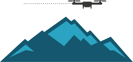
We provide extremely detailed mapping using new drone technology and software. Our GIS and geospatial management experts offer consulting, capture and data processing.

Get in touch

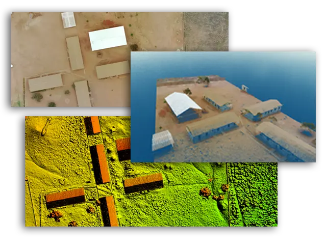
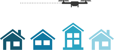
Aerial photography - Orthophotos

One of our specialties is capturing high-resolution images including digital aerial photography and creation of ortho-rectified photo maps scaled to precision.

Layers - DEM, DSM, DTM

We produce multiple types of layers such as digital elevation models, digital surface models, digital terrain models, topography...

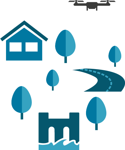
3D Models, Pointcloud

Millions of georeferenced points are processed to create 3D models providing high-resolution data without the distortion sometimes present in 3D mesh models.

Surveying

land surveying
professionals

Unmanned aerial vehicles (UAVs), or drones, can vastly reduce the time spent on projects by collecting accurate surveying data in a much shorter timeframe making ROI substantial. Drones also eliminate the need for manpower to physically access hard-to-reach and dangerous areas enabling projects to be more efficient, commercially more profitable, and safer.

Infrastructure

Building
the future

One of the most rapidly growing sectors benefitting from drones is infrastructure development which includes construction. In the construction industry, drones provide easy access to large or difficult sites as well as complex or tall structures. Drones can gather aerial data, mapping information and 3D information that can be processed to produce accurate surveys for buildings, road design and maintenance, dam site construction, power stations, wind farms and other engineering sites.

Agriculture

Farming
sustainability and Food security

Drones are now playing a big role in precision agriculture in many ways from crop monitoring, farm management, irrigation, environmental protection and early warning. By being able to monitor from the air using drones the data produced means the farmer can quickly assess the situation on the ground at critical growth stages.

Together

Let's map the world

Much of the world is still unmapped, often outdated or simply not detailed enough. With the use of new drone technology, it is now possible to quickly capture detailed and accurate mapping in both 2D and 3D efficiently. This creates an opportunity for data to be captured locally and analysed using the available technology at considerably lower costs

Did you know?

the surface area of the Earth is 510 million square kilometres

of which approximately 148 million square kilometres is land. Africa is 30 million square kilometres.

Case studies

Dams, roads, schools

POINT CLOUD CAPTURE IN SIERRA LEONE
The drone survey covered over 200 tiles at 500m x 500m in size and produced accurate 3D mapping for about 44km2 which is approximately 30% of Freetown. The data is currently being used on a project to rehabilitate the water supply.

ROAD SURVEY IN UGANDA
55km of road was surveyed using a single drone over a period of 5-6 days. The data was processed, and the proposed alignment designed by engineers.

SCHOOL MAPPING IN MALAWI
60 schools were mapped in Malawi to help with the master planning. The drone data picked up the topographic slope as well as the buildings in 3D.

Client Feedback

What Our Clients Say About Us